Do you know the waters?
Names of the seas around Crete
Crete is located in the eastern basin of the Mediterranean Sea. About 300 km north of Africa and 160 km south of mainland Greece. The island has a coastline of just over 1,000 km.
The island forms the southern end of the Aegean Sea. The sea just above Crete is called the Cretan Sea (Greek: Κρητικό Πέλαγος). To the west of the island the sea is called the Myrtic Sea and to the east the Carpathian Sea. The southern coast of Crete is connected to the Libyan Sea (Greek: Λιβυκό Πέλαγος).
The Suez Canal and the Strait of Gibraltar ensure that the Mediterranean Sea remains an open sea.

By boat to and from Crete
An island is of course easily accessible by boat.
You can leave for Athens from the bay of Mirabello, then Agios Nicolaos is the departure port. You can also sail to Athens from the capital Heraklion.
From Sitia the ferries leave for the islands of Rhodes and Kos.

Rivers
Crete has no large rivers and those that are there are often completely dry in the summer months. Due to the mountainous structure, there is no space for nature to form large rivers. The rivers that you find on Crete are the Geropotamos and the Anapodaris on the Messara plain, the Tiflos and Kolenis on the plain near Chania, Kourtaliotis in Rethymnon and Patelis near Sitia.
Freshwater lake and reservoirs
Crete has only one natural freshwater lake: Lake Kournas, near the village of Georgioupolis, which you will encounter if you follow the Routaki route from Rethymnon to Georgioupoli. However, to meet the water needs during the drier summer months, several artificial lakes have been constructed.
For example, an artificial lake was constructed in 1982 in the mountain village of Zaros. Zaros is located south of the Ida Mountains and the lake was constructed at the end of the Zaros Gorge.
Another well-known reservoir is Lake Aposelemi, which lies beneath the tourist centres of Chersonissos and Malia. This reservoir collects water from large parts of the Dikti Mountains and the Lassithi Plateau. The construction of the dam caused the village of Sfendili to be flooded, but due to the drought of recent years, the village has gradually reappeared, a phenomenon that is often shared on social media.
Lake Aposelemi is of crucial importance for the drinking water supply of the entire northern coast.
Other artificial lakes include Lake Bramiana, located north of Ierapetra, and the Amari Dam reservoir, south of Rethymnon.

This topic is mentioned in….
Excerpt from Route 38 – ‘Agia Galini’ – Scenic Southern Crete: A Drive from Spili to Triopetra Beaches in which the following is said…..
“In following the bend to the left, you’ll cross the Platis river.
As you witnessed in Spili, water scarcity is not a significant issue in this region. Water from the mountains eventually makes its way to the villages and farmland through the streams.
However, Crete does not boast abundant rivers, and there is only one natural freshwater lake on the island: Lake Kournas, which you’ll encounter if you follow the Routaki route from Rethymnon to Georgioupoli. Nevertheless, to address water needs during the drier summer months, several artificial lakes have been constructed.

What also may interest you:
City walk Heraklion – GPS audio tour.
You can experience this vibrant city with the interactive GPS app VoiceMap. Install the app for free and select ‘Heraklion’.
In the webshop on this site, you can purchase a code that provides access to all the information you need to enjoy a fantastic day in Iraklio.
Would you like to get an impression first? Then start by reading this page about Heraklion.

Or you can read one of the following articles:
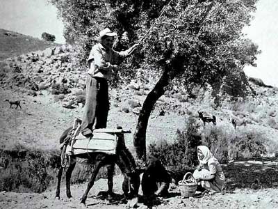
Olive harvest goes way back in time. How was it done many centuries ago
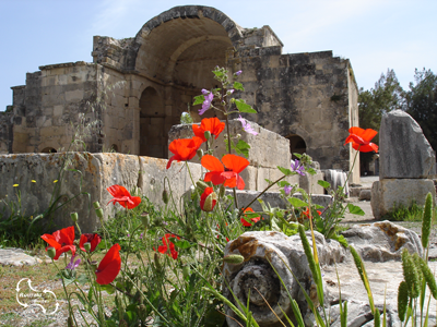
Once the capital of Crete – Gortyna, with the oldest Titus Basilica
Details of the Cretan wine making – more and more a real quality product.